With this third part of the Atlas of Natural Regions, Eric Tabuchi and Nelly Monnier continue their long-term project started in 2017: the overall documentation of the 450 natural regions – or “countries” – that make up the French territory. An extraordinary photographic adventure intended to unfold over several years, at the rate of one publication per semester.
By crisscrossing these small geographical and cultural entities that have sometimes fallen into disuse in the face of the administrative divisions of France, the duo collects the visual elements of what founds a region. They indiscriminately combine the particularisms driven by man – traditional architectures, toponyms, local aesthetics, traces of history – and natural motifs, such as reliefs, landscapes, colors, vegetation, etc.
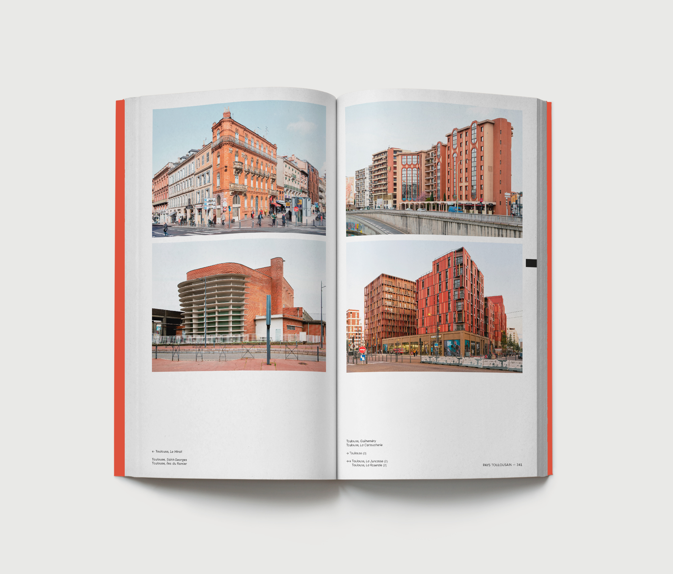
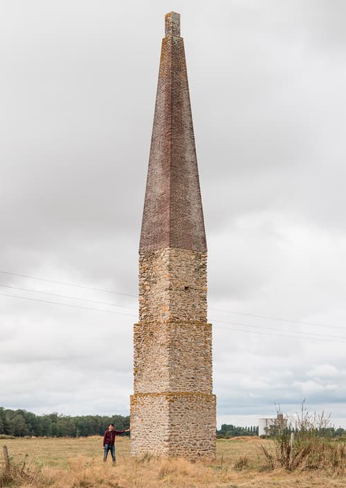
In a transversal way, the authors propose thematic entries as so many formal typologies, as well as Training Architectures, Discotheques, Public Geometries and Infrasculptures for the present volume. Spread across the country, these categories transcend natural regions and illustrate the complexity of France as a global entity.
In 384 pages and more than 500 images, the Atlas of Natural Regions Vol. 3 brings together 12 “portraits” of natural regions, punctuated by 4 thematic entries. Like each volume, the book is accompanied by a map as an index slipped at the end of the volume.
Chapters of the third volume: Pays d’Auge, Brie, Camargue, Training architecture, Cézallier, Combrailles, Côte des Bar, Discotheques, Pays de Montbéliard, Outre-Forêt, Revermont, Public geometry, Rochefortais, Pays de Serres, Pays Toulouse, Infrasculptures.