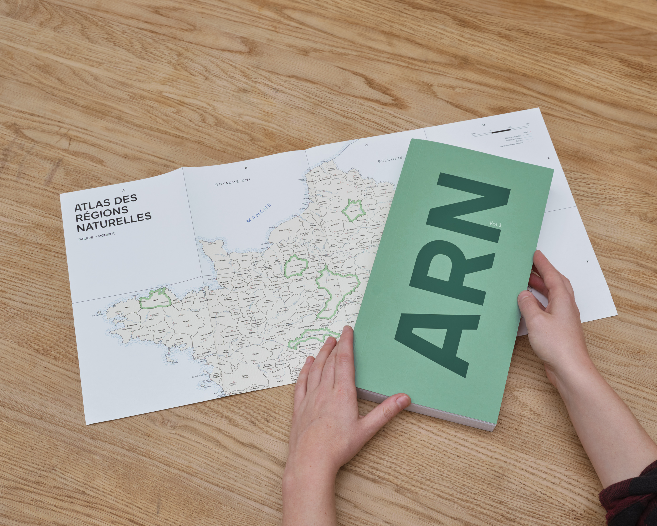
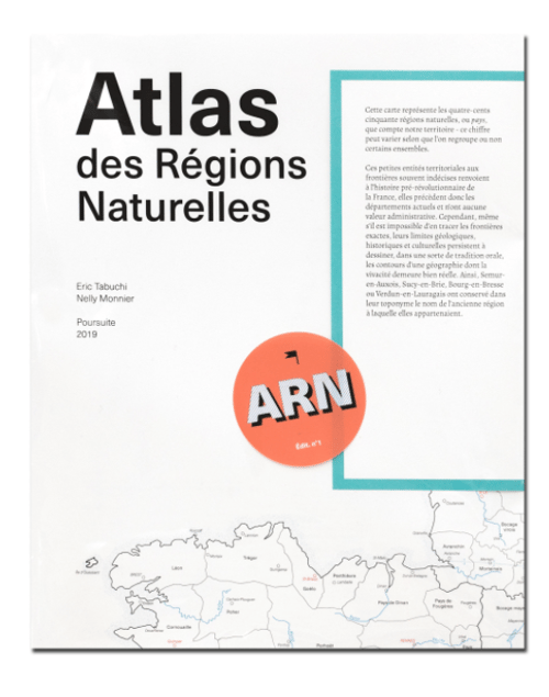
The Atlas des Régions Naturelles Vol. 1, as its name suggests, is the first of a series representing a singular photographic adventure, unique in terms of both its scope and its duration. Launched five years ago, its objective is to document, in equal measure, the 450 natural regions or ‘lands’ constituting the territory of France.
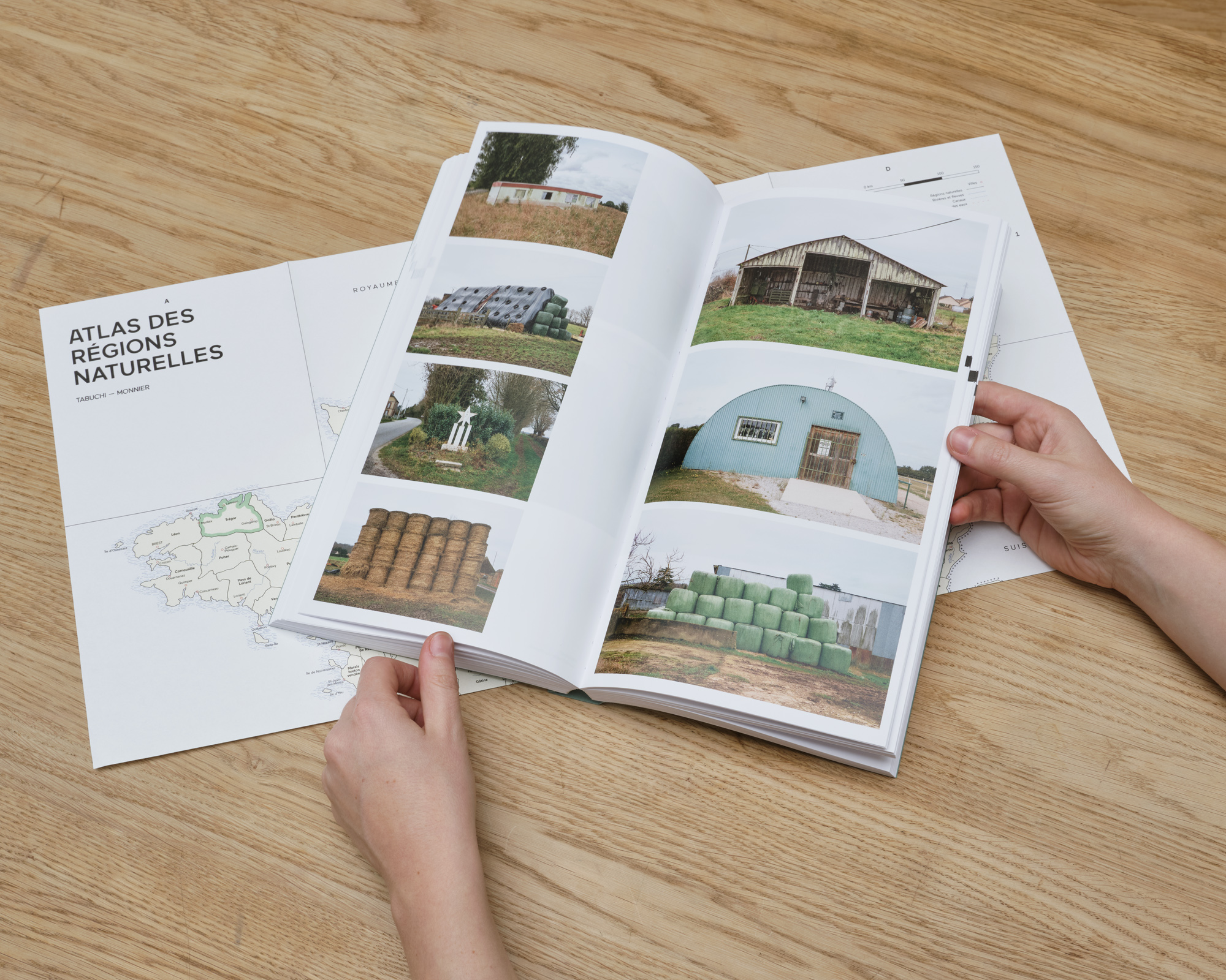
Focusing on these small geographical and cultural entities such as Artois, Morvan or Béarn, Eric Tabuchi and Nelly Monnier patiently and meticulously describe our ways of occupying the landscape, inhabiting it and shaping it. The roads, houses, shops, and activities, the typography of road signs, the names of villages: they seek out both the perpetual, the commonplace, and the anomalies – which, intersecting, define a physiognomy of our ways of life and our identities.
The Atlas des Régions Naturelles Vol.1 is composed of 16 chapters, each divided into three regions followed by a theme. More than 650 images across 384 pages depict architecture as well as its relationship to the landscape. The volume is completed by an index map at the back of the book.
Chapters:
Beauce, Cévennes méridionales, Faucigny, Amers, Forez, Garrigues, Nivernais, Camouflage, Pays d’Ouche, Porcien, Santerre, Initiatives personnelles, Trésor, Val de Loire tourangeau, Hautes Vosges lorraines, Piscine verticales