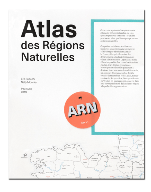
With this fourth edition of the Atlas des Régions Naturelles, Eric Tabuchi and Nelly Monnier continue their long-term project launched in 2017: the comprehensive documentation of the 450 natural regions – or ‘pays’ (lands) – composing the French territory. This exceptional photographic adventure is slated to unfold over several years, with one publication every six months.
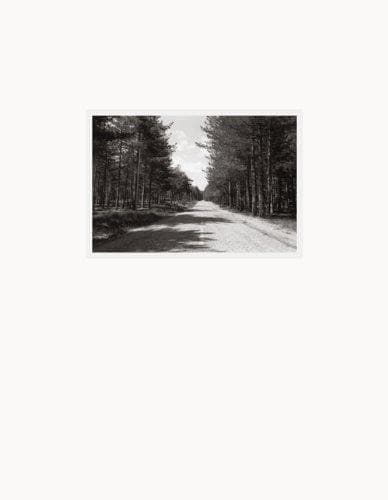
Traversing these small geographical and cultural entities, some fallen into oblivion following the administrative division of the country, the duo collects visual elements that embody the essence of a region. They comingle man-made particularities– traditional architecture, toponyms, local tastes, historical traces– and natural features, such as relief, landscapes, colours, vegetation, etc.
With 384 pages and more than 500 images, theAtlas des Régions Naturelles Vol.4 rassembles twelve “portraits” of natural regions, punctuated by four themes. Like the previous editions, the volume is accompanied by a map serving as an index at the back of the book.
Fourth volume’s chapiters:
Argonne, Bresse bourguignonne, Champagne berrichonne, Écussons, Crau, Flandre maritime, Grand Ried, Garage, Minervois, Perthois, Plateau de Saint-André, Silos, Saintonge romane, Vallespir, Velay, Tours Eiffel.